- Home
- →
- Attractions
- →
- Geodetic point «Tupishki»
Geodetic point «Tupishki»
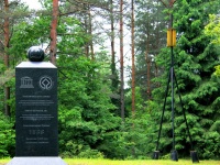
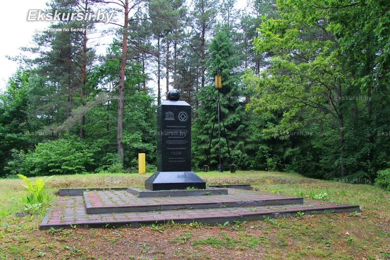
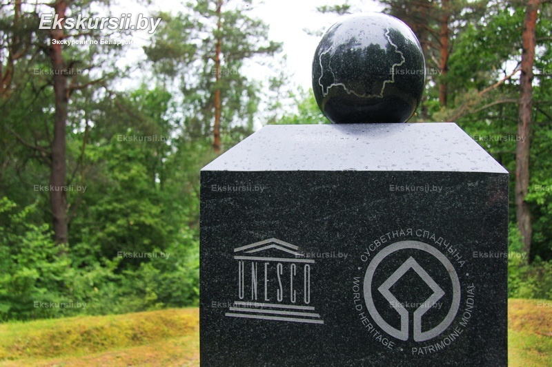
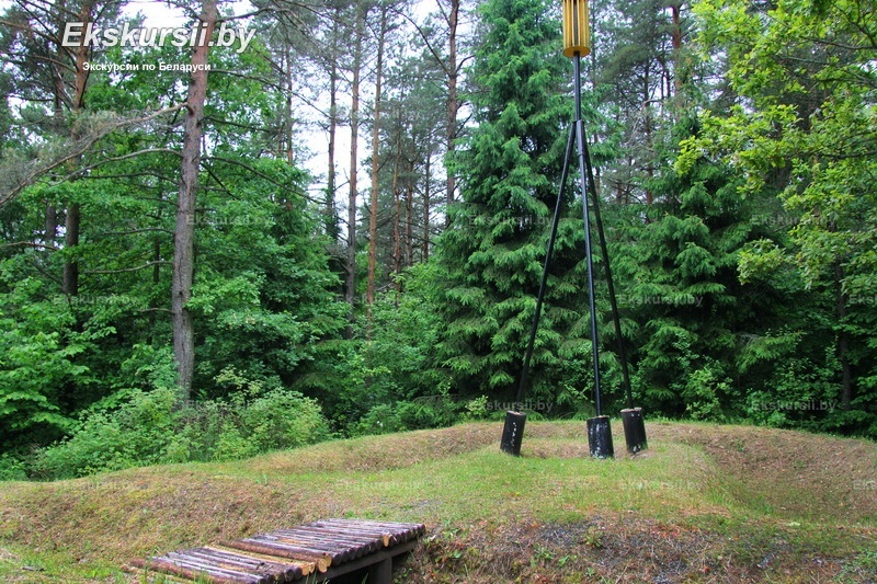
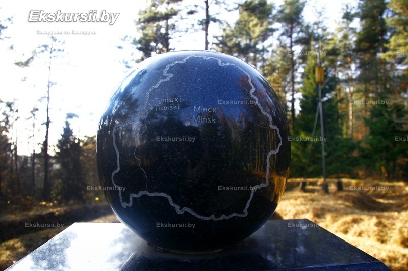
Geodetic Point "Tupishki" – one of the 19 preserved points of the famous Struve Geodetic Arc in Belarus. This unique network of triangulation measurements, created in the 19th century, allowed scientists to determine the shape and size of the Earth. The Struve Arc is included in the UNESCO World Heritage List, and its points today are important historical and scientific landmarks. "Tupishki" is located in the Grodno region and represents a site where precise astronomical and geodetic measurements confirmed the ellipsoidal shape of our planet.
History of Creation
The Struve Geodetic Arc was created between 1816 and 1855 under the leadership of the Russian astronomer Vasily Yakovlevich Struve. The project spanned 10 countries, from Norway to Moldova, and included 265 points, of which only 34 have been preserved. Belarus has the largest number of surviving points—19, six of which have been included in the UNESCO list. The geodetic point "Tupishki," like other points of the arc, was an important part of the grand measurements that confirmed theoretical calculations about the Earth's shape. It is astonishing that the difference between the 19th-century measurements and modern data is less than 3.5 cm, demonstrating the remarkable accuracy of the scientists' work at that time.
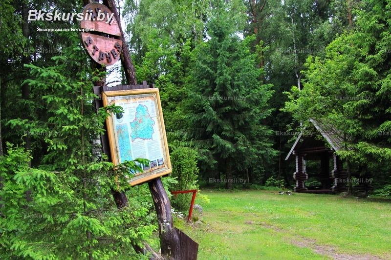
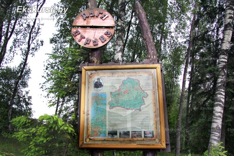
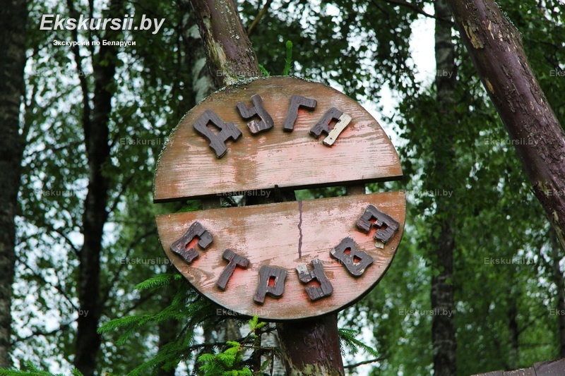
Excursions with a Visit to the Geodetic Point
Excursions across Belarus, including a visit to the "Tupishki" geodetic point, offer a fascinating dive into the world of science, history, and geography. During an excursion from Minsk, visitors can learn about the significance of the Struve Geodetic Arc, the methods of geodetic measurements, and their influence on modern cartographic work. Tourists will see a commemorative marker installed at this site and discover why Belarus became the center of the preserved points of the arc. Book an excursion with a visit to the geodetic point on our website—it's an excellent option for those interested in the history of science and humanity's achievements in studying the Earth.