- Home
- →
- Attractions
- →
- Museum Struve Arc
Museum Struve Arc
Struve Geodetic Arc – the greatest geodetic instrument of the 19th century.
What is the Struve Geodetic Arc?
The Struve Geodetic Arc is the longest geodetic system, consisting of 258 triangles forming a chain of 265 triangulation points. It starts in Norway and ends in Ukraine, covering ten countries. This large-scale project was implemented in the mid-19th century to create accurate maps of the terrain and confirm that the Earth is not a perfect sphere but an oblate spheroid flattened at the poles. Measurements were carried out in the territories of the Russian Empire and the Swedish-Norwegian Union, and the arc was named after the project’s leader on the Russian side — the prominent astronomer Friedrich Georg Wilhelm Struve.
Establishment of the Museum
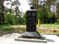
Travelers interested in unique historical and scientific landmarks can take a tour from Minsk to the village of Tyupishki, where one of the points of the famous Struve Geodetic Arc is located. In 2007, a commemorative sign “Tupishki” was installed here—an object that had already been included in the UNESCO World Heritage List in 2005. This point became part of a global geodetic project involving our compatriot, the scientist and geographer Iosif Ivanovich Khodzko.
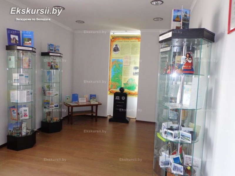
To attract more visitors and highlight the significance of this project, the library staff of the agricultural town of Golshany proposed the creation of a unique museum. The initiative was supported by a member of the House of Representatives of the National Assembly of the Republic of Belarus, V. M. Luzina. As a result, in February 2013, the only Struve Geodetic Arc Museum in Belarus was opened.
Excursion to the Struve Geodetic Arc Museum
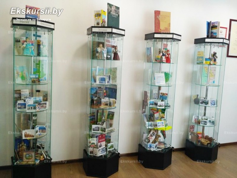
Today, the Struve Geodetic Arc Museum is not just a point on the map but a popular destination for excursion trips. Tourists visiting this site learn about the history of the Struve Geodetic Arc, its scientific significance, and the geodetic expedition of Vasily Struve. They also explore the history and culture of ten countries united by this project: Norway, Sweden, Finland, Russia, Estonia, Lithuania, Belarus, Latvia, Moldova, and Ukraine.
You can book a tour to the Struve Geodetic Arc Museum as part of excursion tours: Excursion Zaslavl - Krevo - Golshany; Excursion Krevo - Golshany - Ivye - Novogrudok.


